 NOAA
NOAANEER conducted a “dry run” as Hurricane Dorian approached (even before the Association was fully funded), including organizing Field and Home Teams and discussing a deployment location and goals. Although we did not deploy, we had more than 12 members available to participate on teams to observe the interactions among ocean, dune/beach, groundwater, atmosphere, and biological processes.

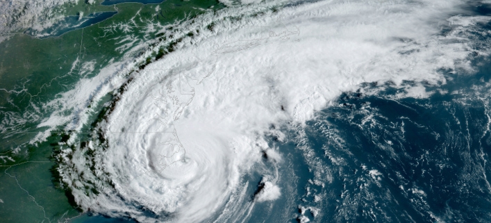
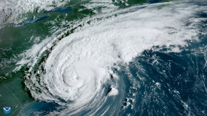
Hurricane Dorian made landfall over Cape Hatteras, N.C., at 8:35 a.m. EDT Friday, Sept. 6, 2019, with maximum sustained winds near 90 mph. NOAA’s GOES East captured this view of the strong Category 1 storm at 8:20 a.m. EDT, just 15 minutes before the center of the storm moved across the barrier islands. Credit: NOAA
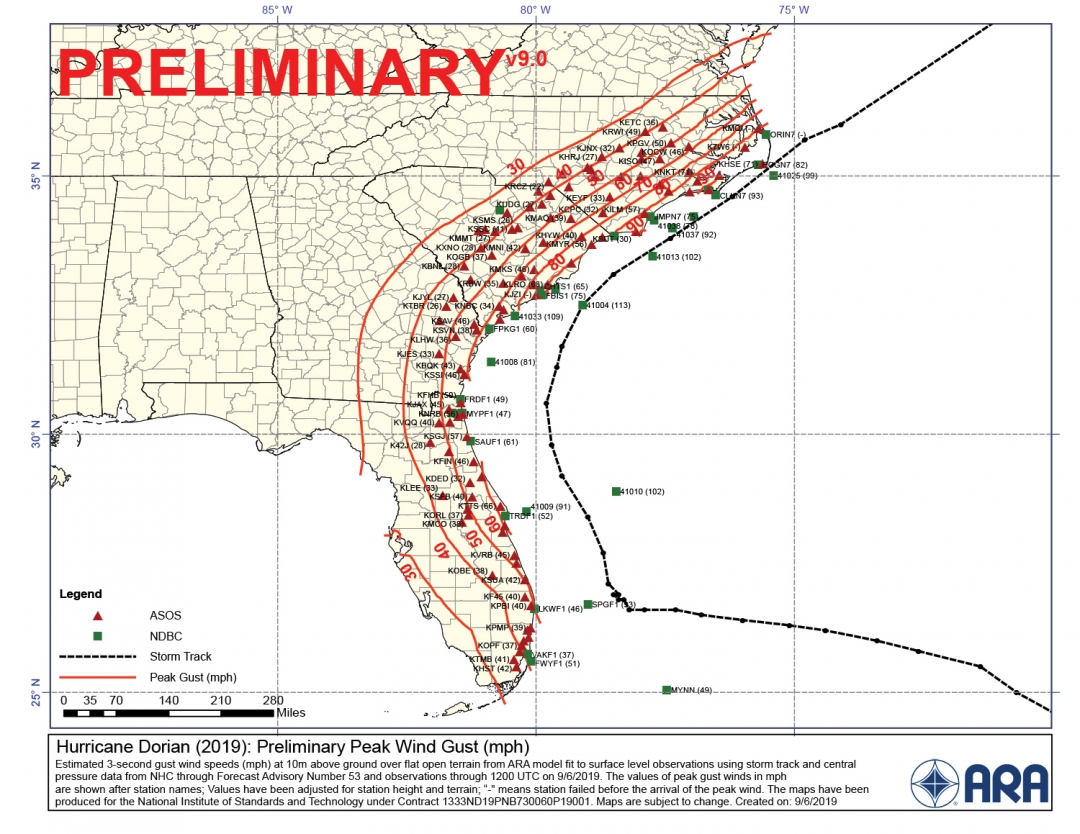
Hurricane Dorian made landfall in Cape Hatteras, NC at 0835 EDT on September 6th, 2019 as a category 1 hurricane. The strongest on-land gust was measured at 101 mph. NEER members conducted individual rapid deployments near Wilmington, NC (240 km south of Cape Hatteras) and at the USACE Field Research Facility (FRF) in Duck, NC (100 km north of Cape Hatteras). Sustained winds on the FRF pier exceeded category 1 strength for just under 2 hours, peaking at 36.5 m/s from the north with a maximum gust of 43.8 m/s (98 mph). Wind sensors deployed 5-m above the dune crests recorded maximum gusts of 37 m/s (83 mph). Offshore significant wave heights measured in 26-m depth peaked at 6.9 m, making Dorian the 4th largest wave event at this location since 1985.


